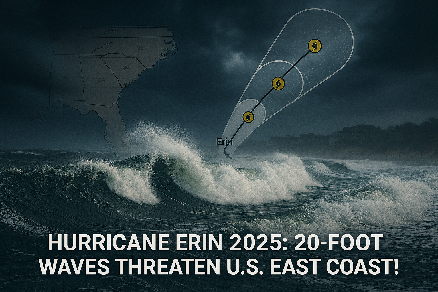
Hurricane Erin, the first hurricane of the 2025 Atlantic season, is set to bring significant impacts to the U.S. East Coast, particularly North Carolina, Virginia, New York, and Massachusetts, despite not making direct landfall. With tropical storm warnings issued for North Carolina’s Outer Banks and dangerous rip currents expected from Florida to New England, the storm’s massive size—potentially spanning 600 miles—poses risks of coastal flooding, high waves, and beach erosion. This article details Erin’s projected path, affected states, and broader implications, incorporating insights from the National Hurricane Center (NHC) and other sources.
Projected Path and Simulation
- Current Status: As of August 20, 2025, Erin is a Category 2 hurricane with maximum sustained winds of 105 mph, down from a peak of Category 5 with 160 mph winds on August 16. The NHC notes fluctuations in strength but expects Erin to remain a major hurricane through midweek.
- Path Simulation: The NHC and European Centre for Medium-Range Weather Forecasts (ECMWF) models show Erin passing east of the Bahamas on August 19, moving between Bermuda and the U.S. East Coast on August 20–21. Meteorologist Mark Margavage noted a westward trend in forecasts, bringing the storm closer to the U.S. than initially projected. It is expected to curve north-northeast, staying offshore but impacting coastal areas with its outer bands.
- Key Dates:
- August 19–20: Erin moves northwest, affecting the Bahamas and Turks and Caicos with heavy rain (up to 6 inches) and gusty winds.
- August 20–21: Tropical storm conditions hit North Carolina’s Outer Banks, with storm surge and waves up to 20 feet. Virginia and Bermuda may see impacts by August 21.
- August 22–27: Dangerous surf and rip currents persist along the East Coast, from Florida to Massachusetts, with waves of 8–12 feet in New York and Cape Cod.
Impacted States
- North Carolina
- Outer Banks: Under a state of emergency, with mandatory evacuations for Hatteras and Ocracoke Islands due to expected coastal flooding and a storm surge of 2–4 feet. Waves of 10–20 feet threaten Highway 12, potentially rendering it impassable for days. Dare County issued evacuation orders, and Wrightsville Beach reported 75 rip current rescues on August 18.
- Rainfall: Up to 4 inches expected, per the NHC, risking flash flooding.
- Impact: Significant beach erosion and property damage, with at least two homes in Rodanthe at risk of collapsing into the ocean.
- Virginia
- Coastal Areas: A tropical storm watch extends to Chincoteague, with minor storm surge (1–3 feet) possible. High surf and rip currents are expected, particularly in Tidewater regions.
- Impact: Beach closures and erosion risks, with potential disruptions to coastal infrastructure.
- New York
- Long Island: Faces high waves (up to 12 feet by August 21) and life-threatening rip currents. New York City closed beaches for swimming on August 20–21.
- Impact: Public safety concerns, with officials urging beachgoers to avoid the ocean.
- Massachusetts
- Cape Cod: Waves of 10–15 feet and rip currents threaten coastal areas. Nantucket could see swells exceeding 10 feet.
- Impact: Beach closures and potential erosion, affecting tourism during peak season.
Broader Regional Impacts
- Eastern Seaboard: From Florida to New England, the NHC warns of life-threatening rip currents, responsible for over 80% of U.S. beach rescues. At least 44 deaths from rip currents have been reported in 2025, per the National Weather Service (NWS).
- Bermuda: Under a tropical storm watch, with strong winds and rough seas expected by August 21.
- Bahamas and Caribbean: Erin’s outer bands brought heavy rain (2–6 inches) to Puerto Rico, the Turks and Caicos, and the Bahamas, causing flash flooding and power outages for 150,000 in Puerto Rico.
- Climate Context: Warmer oceans, driven by climate change, fueled Erin’s rapid intensification to Category 5, a trend seen in recent hurricanes like Beryl and Milton. The NHC predicts 13–18 named storms in 2025, with 3–6 U.S. impacts.
Official Responses and Warnings
- NHC: Issued tropical storm and storm surge watches for the Outer Banks, warning of “life-threatening surf and rip currents” from Florida to Atlantic Canada. Advisories emphasize following local warnings and lifeguard instructions.
- North Carolina: Governor Josh Stein declared a state of emergency, urging residents to prepare for flooding and avoid ocean waters. Dare and Hyde Counties mandated evacuations.
- Other States: New Jersey’s Governor Phil Murphy banned swimming at Wildwood and Rehoboth Beach, Delaware, while New York City enforced no-swimming advisories.
- X Sentiment: Meteorologist Matt Devitt (@MattDevittWINK) highlighted Erin’s 600-mile-wide wind field, predicting severe coastal impacts. @MeteoMark noted the westward shift, raising concerns for Virginia and beyond.
Connection to Global Challenges
- European Wildfires: Spain’s deployment of 1,900 troops to fight wildfires burning 344,400 hectares in 2025 strains EU resources, potentially limiting NATO’s focus on Ukraine’s security guarantees, a parallel concern in Trump’s peace talks. The EU’s Civil Protection Mechanism, activated for Spain, mirrors the international cooperation needed for hurricane response.
- L.A. Olympics 2028: Wildfires in Pacific Palisades and Altadena, mentioned in the L.A. Times article, highlight California’s vulnerability to climate-driven disasters, complicating Olympic preparations. Erin’s impacts underscore the global challenge of extreme weather, potentially affecting L.A.’s infrastructure planning.
Key Statistics
| Metric | Details |
|---|---|
| Storm Strength | Category 2, 105 mph winds (August 20, 2025) |
| Area Affected | East Coast from Florida to New England, Bermuda |
| Wave Heights | 10–20 feet (Outer Banks), 8–12 feet (NY, MA) |
| Evacuations | Hatteras and Ocracoke Islands, 27,000 residents region-wide |
| Rip Current Deaths | 44 in U.S. (2025, per NWS) |
Conclusion
Hurricane Erin’s westward-trending path threatens North Carolina, Virginia, New York, and Massachusetts with dangerous rip currents, high waves, and coastal flooding, despite staying offshore. North Carolina’s Outer Banks faces the brunt, with evacuations and a state of emergency in place. The storm’s impacts, amplified by climate change, parallel global challenges like Spain’s wildfires and complicate broader geopolitical efforts, such as Ukraine peace talks and L.A.’s Olympic preparations.